SES Digital Solutions
- Viewed - 5
Description
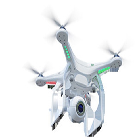
Looking for a reliable Drone surveying company in India? Our advanced UAV technology delivers accurate, high-resolution aerial data for land surveys, construction planning, mining analysis, agriculture monitoring, and infrastructure inspection. We combine cutting-edge drone mapping, GIS expertise, and data analytics to provide precise measurements, 3D models, and actionable insights. With certified pilots and industry-compliant workflows, we ensure fast turnaround times and cost-effective solutions. Whether for government, real estate, or industrial projects, our drone surveying services enhance efficiency, safety, and decision-making across diverse sectors throughout India.
You must be logged in to post a comment.
Nearby Listings

Location / Contacts
- Address : Old Padra Rd ، 390007 Vadodara، India
- Phone : 7486933588
- Mail : sesdigitalsolutions@gmail.com
- Website : https://sesdigitalsolutions.com/
People Also Viewed


Hosted by :
Own or work here?
Claim Now!
Add Review